

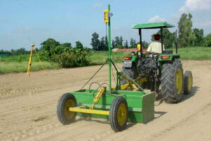
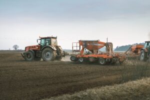



The laser levelers are formed by three components represented by the machine that works the soil, by a transmitter and a receiver of the laser beam.
In particular, the grader is mounted the receiver which receives the laser signal emitted by a transmitter placed on top of a tripod, with the objective of achieving a correct leveling floor.
The GPS was created in 1973 in the USA, and in 2000 it was liberalised for civil use by the US government. In order to do so, a network of 31 artificial satellites were positioned in space, that revolve around Earth at different heights and which transmit their position to all GPS receivers. The GPS receiver picks up satellite signals that give the horizontal position of the receiver on Earth (longitude and latitude).
The Omekom integrated system works simply, accurately and effectively as it involves the use of laser control as well as the positioning via GPS. The most striking difference between the levelling system with laser control and the system with GPS control is its accuracy: the laser system allows you to create a more precise plan (± 2 mm error), while the GPS system gives an error of about ± 10 mm, which changes every 12 minutes when you activate the new constellation of satellites that give the reference plan signal. This is why MARA opted to use the laser system to implement the plan, despite the control limit of a circle of about 1300 m. It then uses the GPS system to define the position of the grader on the ground.
Application Areas


Fast, reliable, and affordable global after-sales support
Agriculture Application
Reduce water consumption (-50%) Reduce the consumption of chemical products (-8%) Reduce the consumption of seeds (-20%) Increase your harvest (up to 40%) Sum up all the benefits that you have gained using Omekom levelers, and it will be as if your acreage increased by more than 25%

CONSTRUCTION
Reduce the processing time (-18%), site preparation (-85%) and costs (-15%) Reduce the use of concrete (-15%) Ensure the right angle for water flow with precise gradients in millimeters Improve the overall end result from a ± 2.0 cm error to a ± 0.3 cm error

EARTH MOVING
Minimize your investment (-25%) Reduce processing times (-18%) Improve the overall end result (from a ± 2.0 cm error to a ± 0.3 cm error) Get a horizontal plane with two precise inclines to the millimeter

SPORTS FIELDS
Guarantee the right slope for rainwater drainage Give the perfect appearance, even over long distances Inclines that are precise to the millimeter Grassy playing fields that are available shortly following maintenance

Greenhouses
Ensure the right slope for rainwater drainage Improve grass growth with perfect surfaces Perfect appearance even over long distances Inclines that are precise to the mm

ROAD BUILDING
Minimize your investment (-80%) Reduce processing times (-15%) Improve the overall end result from a ± 2.0 cm error to a ± 0.3 cm error Minimize the use of precious materials (-20%)